![]()
![]()
![]()
![]()
![]()
![]()
![]()
![]()
![]()
This appendix gives maps of relevant areas to the life and ancestors of George Dodsworth.
The relative positions of Midville, Minskip and Killinghall are shown in Figure 42.
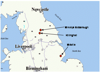
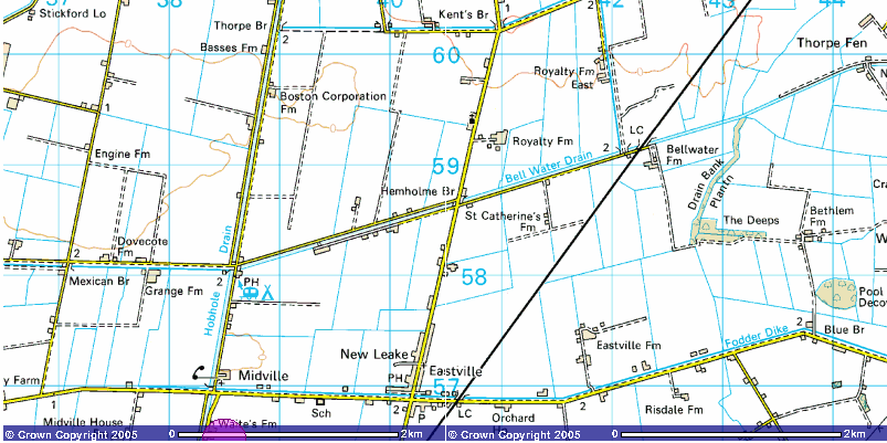
Image produced from the Ordnance Survey Get-a-map service. Image reproduced with kind permission of Ordnance Survey and Ordnance Survey of Northern Ireland.

Image produced from the Ordnance Survey Get-a-map service. Image reproduced with kind permission of Ordnance Survey and Ordnance Survey of Northern Ireland.
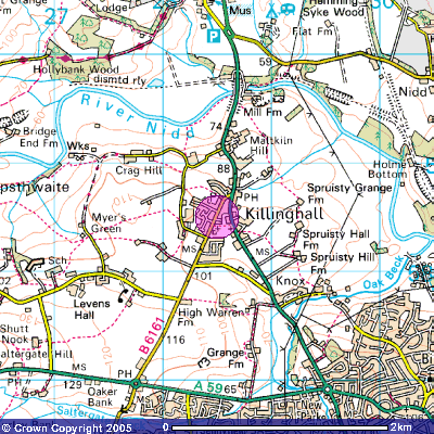
Figure 46 : Map of Killinghall
Image produced from the Ordnance Survey Get-a-map service. Image reproduced with kind permission of Ordnance Survey and Ordnance Survey of Northern Ireland.
![]()
![]()
![]()
![]()
![]()
![]()
![]()
![]()
![]()